%20%20Color%20map,%20Les%20Chateaux%20de%20la%20Loire.%20%20Dunlop.%20%20[1928].&media=//www.cooksbookcase.com/cdn/shop/products/photo_971daf80-3a25-4ae6-a119-0ac96474b2c0_1024x1024.jpg?v=1571264348 "Pin It")
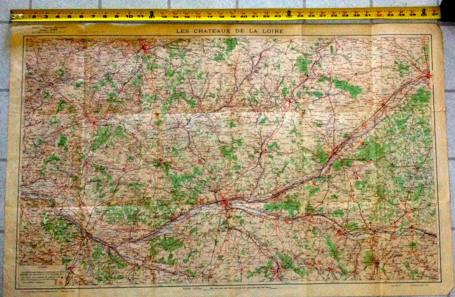
(Map) Color map, Les Chateaux de la Loire. Dunlop. [1928].
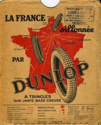
(Map) Color map. Les Chateaux de la Loire. Carte Officielle du Service Géographique de l'Armée. Dunlop, 1928. Measuring 37" x 23". Text in French. Verso are interesting ads. In its original color illustrated envelope. Folds of course, a few tiny tears archively & expertly repaired, else generally Good to VG. Suitable for framing.
![(Map) Color map, Les Chateaux de la Loire. Dunlop. [1928].](http://www.cooksbookcase.com/cdn/shop/products/photo_971daf80-3a25-4ae6-a119-0ac96474b2c0_large.jpg?v=1571264348)
![(Map) Color map, Les Chateaux de la Loire. Dunlop. [1928].](http://www.cooksbookcase.com/cdn/shop/products/photo_5366e7dd-f677-452b-865f-7f90db5a62a4_1024x1024.jpg?v=1571264348)


![Swine Out in Santa Cruz. A guide to reasonable restaurants. By B[arry].J. Reid. (1983)](http://www.cooksbookcase.com/cdn/shop/files/FullSizeRender_e3b1c712-e7c0-4f0d-b9a1-759ab9ec6ba4_medium.heic?v=1745522589)


